Approximate Location Map
Large Map »
This site is entirely user-supported. See how you can help.
Latitude: 56.6225 / 56°37'20"N
Longitude: -2.4854 / 2°29'7"W
OS Eastings: 370311
OS Northings: 747953
OS Grid: NO703479
Mapcode National: GBR VX.ZW6M
Mapcode Global: WH8RX.STN0
Entry Name: St Murdoch's Chapel, church and burial ground
Scheduled Date: 21 February 1936
Last Amended: 30 January 2015
Source: Historic Environment Scotland
Source ID: SM161
Schedule Class: Cultural
Category: Ecclesiastical: chapel
Location: Inverkeilor
County: Angus
Electoral Ward: Arbroath East and Lunan
Traditional County: Angus
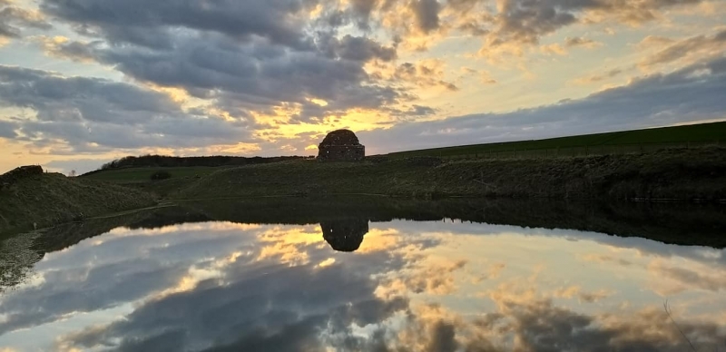
The monument comprises the remains of the medieval parish church of Ethie, a small stone church and associated burial ground that probably originated between AD 600 and 1214, in the early historic or medieval period. The E gable of the church stands almost to its original height of 4m, while the remaining church walls are represented by low banks. The graveyard lies to the S of the church and is defined by turf-covered banks with intermittent traces of a stone wall. The site lies above the N bank of a small burn some 100m inland from the coast and stands about 35m above sea level.
The church measures about 19m E-W by 7m transversely, with the E gable standing around 4m high. There are several small apertures in the E gable, most of which can be seen to be secondary insertions. The burial ground to the S of the church measures about 43m E-W by 18m transversely. Traces of the churchyard wall to the W, S and E show that the boundary was curved on plan; it is unclear whether the churchyard originally extended to the N of the church as well. There is documentary evidence that the church was granted to Arbroath Abbey during the reign of William I in the late 12th or early 13th century, and it fell out of use around 1611. The dedication to St Murdoch suggests there is also potential for remains of an earlier chapel .
The area to be scheduled is irregular on plan, to include the remains described above and an area around them within which evidence relating to the monument's construction, use and abandonment may survive, as shown in red on the accompanying map. The scheduling specifically excludes the above-ground elements of a post-and-wire fence on the slope S of the burial ground. The monument was first scheduled in 1936, but the documentation did not meet modern standards: the present amendment rectifies this.
Source: Historic Environment Scotland
This monument is of national importance because of its inherent potential to make a significant addition to our understanding of early church sites in Scotland. Although ruinous, the monument retains sufficient structural elements that its overall form can still be understood. The early abandonment of the church (around 1611) means we can expect well-preserved archaeology that can make a significant contribution to our knowledge of medieval church architecture and burial. The monument's significance is enhanced by the capacity to compare it with other early church sites in Angus and to relate the church to the medieval settlement pattern. The loss of the monument would significantly diminish our future ability to appreciate and understand early churches in E Scotland and the role they had in medieval society and in the organisation of Christianity.
Source: Historic Environment Scotland
Bibliography
RCAHMS records the site as NO74NW 1. The Angus SMR reference is NO74NW0001.
References
Pollock, D 1987, 'The Lunan Valley project: medieval rural settlement in Angus', Proc Soc Antiq Scot 115, 369.
RCAHMS, 1978, The Royal Commission on the Ancient and Historical Monuments of Scotland. The archaeological sites and monuments of Lunan Valley, Montrose Basin, Angus District, Tayside Region. The Archaeological sites and monuments of Scotland series no 4, Edinburgh, 29, no 244.
Warden, A J 1880, Angus or Forfarshire: the land and people, vol 3, Dundee, 426.
Source: Historic Environment Scotland
Other nearby scheduled monuments