Approximate Location Map
Large Map »
This site is entirely user-supported. See how you can help.
Latitude: 58.3663 / 58°21'58"N
Longitude: -4.6391 / 4°38'20"W
OS Eastings: 245717
OS Northings: 945011
OS Grid: NC457450
Mapcode National: GBR G6XM.3RZ
Mapcode Global: WH27K.QZ26
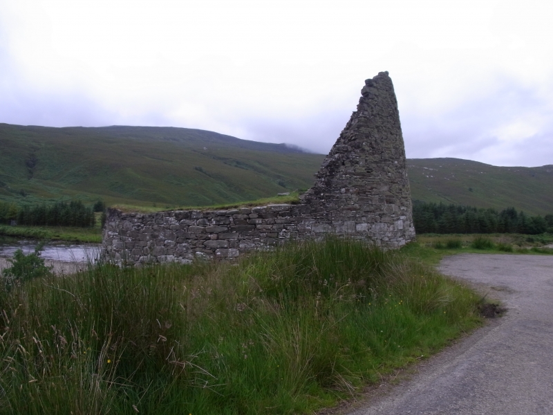
Entry Name: Dun Dornadilla or Dun Dornaigil,broch
Scheduled Date: 18 August 1882
Last Amended: 14 August 1961
Source: Historic Environment Scotland
Source ID: SM90113
Schedule Class: Cultural
Category: Prehistoric domestic and defensive: broch
Location: Durness
County: Highland
Electoral Ward: North, West and Central Sutherland
Traditional County: Sutherland
The monument is of national importance because of its potential to contribute to an understanding of prehistoric settlement and economy.
Source: Historic Environment Scotland
Bibliography
No Bibliography entries for this designation
Historic Environment Scotland Properties
Dun Dornaigil
https://www.historicenvironment.scot/visit-a-place/places/dun-dornaigil-broch
Find out more
Source: Historic Environment Scotland