Approximate Location Map
Large Map »
This site is entirely user-supported. See how you can help.
Latitude: 50.9856 / 50°59'8"N
Longitude: -2.108 / 2°6'28"W
OS Eastings: 392516.378822
OS Northings: 120690.8256
OS Grid: ST925206
Mapcode National: GBR 2ZB.1W2
Mapcode Global: FRA 66GH.YBN
Entry Name: Bowl barrow in Win Green Clump, 730m south of Higher Berry Court Cottages
Scheduled Date: 14 July 1955
Last Amended: 24 April 2002
Source: Historic England
Source ID: 1020631
English Heritage Legacy ID: 33572
County: Wiltshire
Civil Parish: Donhead St. Mary
Traditional County: Wiltshire
Lieutenancy Area (Ceremonial County): Wiltshire
Church of England Parish: Berwick St John St John
Church of England Diocese: Salisbury
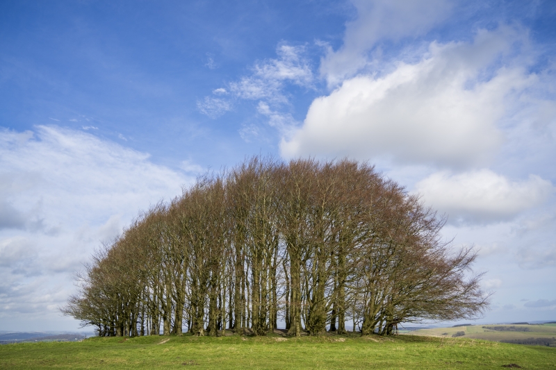
The monument includes a bowl barrow situated in a prominent position on
the summit of Win Green Hill, 730m south of Higher Berry Court Cottages,
one of a dispersed group of barrows situated in this area.
The barrow has a mound 10m in diameter and 0.5m high, surrounded by a quarry
ditch from which material was derived for its construction. This is no longer
visible on the surface but will survive as a buried feature about 2m wide. The
mound has a central depression, 1.5m wide and 3m long, probably indicating an
antiquarian excavation, the trench being dug from the southern edge of the
mound. The barrow is mentioned in charters of AD 955 and 958 as `Beacnes
Hlawe', Beacon barrow, and is shown on a map published by Colt-Hoare in 1812.
MAP EXTRACT
The site of the monument is shown on the attached map extract.
It includes a 2 metre boundary around the archaeological features,
considered to be essential for the monument's support and preservation.
Source: Historic England
Cranborne Chase is an area of chalkland well known for its high number,
density and diversity of archaeological remains. These include a rare
combination of Neolithic and Early Bronze Age sites, comprising one of the
largest concentrations of burial monuments in England, the largest known
cursus (a linear ritual monument) and a significant number and range of henge
monuments (Late Neolithic ceremonial centres). Other important remains include
a variety of enclosures, settlements, field systems and linear boundaries
which date throughout prehistory and into the Romano-British and medieval
periods. This high level of survival of archaeological remains is due largely
to the later history of the Chase. Cranborne Chase formed a Royal Hunting
Ground from at least Norman times, and much of the archaeological survival
within the area resulted from associated laws controlling land-use which
applied until 1830. The unique archaeological character of the Chase has
attracted much attention over the years, notably during the later 19th
century, by the pioneering work on the Chase of General Pitt-Rivers, Sir
Richard Colt Hoare and Edward Cunnington, often regarded as the fathers of
British archaeology. Archaeological investigations have continued throughout
the 20th century and to the present day.
Bowl barrows, the most numerous form of round barrow, are funerary monuments
dating from the Late Neolithic to the Late Bronze Age, with most examples
belonging to the period 2400-1500 BC. They were constructed as earthen or
rubble mounds, sometimes ditched, which covered single or multiple burials.
They occur either in isolation or grouped as cemeteries and often acted as a
focus for burials in later periods. Often superficially similar, although
differing widely in size, they exhibit regional variations in form and a
diversity of burial practices. Over 10,000 bowl barrows are known to survive
nationally, of which a cluster of at least 395 examples has been identified on
Cranborne Chase. Some of these have been levelled by ploughing but remain
visible from the air as ring ditches. Buried remains will nevertheless survive
at these sites, both within the ditch fills and associated with the central
burial pit. Bowl barrows are particularly representative of their period,
whilst their considerable variation of form and longevity as a monument type
will provide important information on the diversity of beliefs and social
organisation amongst early prehistoric communities. Often occupying prominent
locations, they are a major historic element in the modern landscape and
constitute a significant component of the archaeology of Cranborne Chase. All
surviving examples within this area are, therefore, considered to be of
national importance.
Despite some disturbance from past excavation, the bowl barrow in Win
Green Clump, 730m south of Higher Berry Court Cottages survives
comparatively well and will contain archaeological deposits providing
information about Bronze Age burial practices and society as well as the
contemporary environment.
Source: Historic England
Other nearby scheduled monuments