Approximate Location Map
Large Map »
This site is entirely user-supported. See how you can help.
Latitude: 50.7526 / 50°45'9"N
Longitude: -2.2049 / 2°12'17"W
OS Eastings: 385643.122654
OS Northings: 94796.160052
OS Grid: SY856947
Mapcode National: GBR 20L.MDX
Mapcode Global: FRA 6783.2TX
Entry Name: Hillfort, ridge and furrow, holy well and medieval chapel on Woodbury Hill
Scheduled Date: 6 October 1959
Last Amended: 5 March 1997
Source: Historic England
Source ID: 1016042
English Heritage Legacy ID: 28386
County: Dorset
Civil Parish: Bere Regis
Traditional County: Dorset
Lieutenancy Area (Ceremonial County): Dorset
Church of England Parish: Bere Regis St John the Baptist
Church of England Diocese: Salisbury
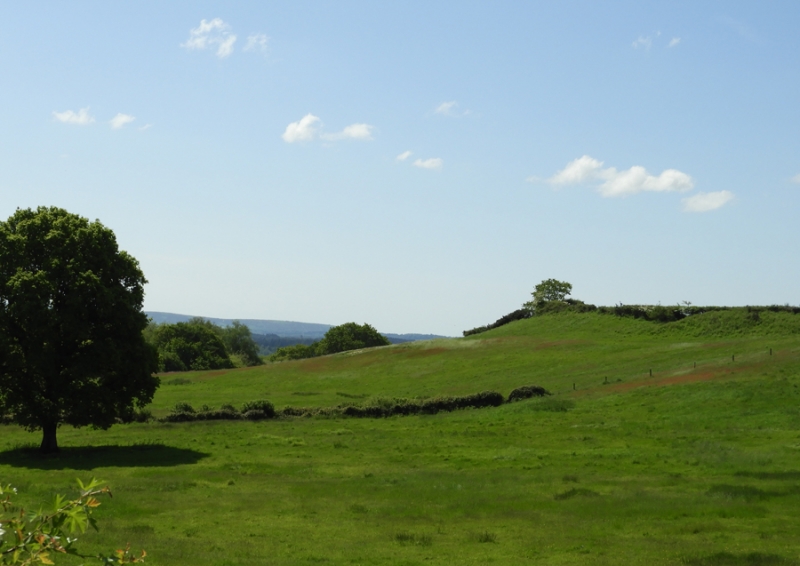
The monument includes a slight univallate hillfort, an adjoining area of ridge
and furrow, and, within the hillfort, a holy well and medieval chapel, all on
Woodbury Hill, a prominent ridge overlooking the Piddle Valley to the south,
the Bere Valley to the west and the Winterborne Valley to the north.
The slight univallate hillfort, known as Woodbury Hill Camp, has an irregular
shaped interior with maximum dimensions of 272m from east to west, 410m from
north to south and occupies a total area of just over 5ha. The hillfort is
enclosed by a single set of ramparts which include a bank 6m-12m wide and
c.0.5m-5m high and an outer ditch 9m wide and c.1.5m deep. On the outer side
of the ditch is a counter-scarp, abutting the steep natural slopes of the
hilltop along the southern, south western and eastern sides. The counter-scarp
includes a bank which has been reduced and partly spread across the ditch,
creating the appearance of a terrace c.25m wide.
To the north, the hilltop is linked to a northern ridge by a narrow strip of
gently sloping ground. At this point, the hillfort defences also include a
second rampart, situated 60m to the north of the main rampart, enclosing an
additional area of c.0.5ha. The outer rampart is likely to represent an
attempt to strengthen the defences within this vulnerable section.
There are now five gaps in the ramparts, although only the southern and
northern examples are thought to be original. Finds from the site include two
Roman coins from the northern rampart.
The hilltop has continued in occupation to the present day. A tithe map of
1844 shows many structures within the hillfort; 24 of these were demolished
during the 19th century, causing spreads of brick, rubble and clay pipe across
the hilltop. The central farm has survived and may have an early origin. There
is the site of a medieval chapel on the south west side of the hilltop. This
was present by the 15th century, but demolished by the 18th century, when only
footings remained. A holy well, situated 25m to the south east of the chapel
is thought to be associated with the chapel.
An area of ridge and furrow, representing medieval cultivation, occupies a
gently sloping area of ground outside of the hillfort on the north western
side of the hilltop. This occupies an area traditionally associated with an
annual sheep-fair known to have been held at the site until the early part of
this century.
Two houses situated on the western side of the hillfort, within the ditch,
were demolished in 1981. During the construction of a barn in 1995, sherds of
medieval pottery were recovered from the area of the north eastern rampart.
Excluded from the scheduling are all farm buildings, silos and houses, along
with all gates and fence posts which relate to the modern field boundaries,
although the ground beneath these features is included.
MAP EXTRACT
The site of the monument is shown on the attached map extract.
Source: Historic England
Slight univallate hillforts are defined as enclosures of various shapes,
generally between 1ha and 10ha in size, situated on or close to hilltops and
defined by a single line of earthworks, the scale of which is relatively
small. They date to between the Late Bronze Age and Early Iron Age (eighth -
fifth centuries BC), the majority being used for 150 to 200 years prior to
their abandonment or reconstruction. Slight univallate hillforts have
generally been interpreted as stock enclosures, redistribution centres, places
of refuge and permanent settlements. The earthworks generally include a
rampart, narrow level berm, external ditch and counterscarp bank, while access
to the interior is usually provided by two entrances comprising either simple
gaps in the earthwork or an inturned rampart. Postholes revealed by excavation
indicate the occasional presence of portal gateways while more elaborate
features like overlapping ramparts and outworks are limited to only a few
examples. Internal features included timber or stone round houses; large
storage pits and hearths; scattered postholes, stakeholes and gullies; and
square or rectangular buildings supported by four to six posts, often
represented by postholes, and interpreted as raised granaries. Slight
univallate hillforts are rare with around 150 examples recorded nationally.
Although on a national scale the number is low, in Devon they comprise one of
the major classes of hillfort. In other areas where the distribution is
relatively dense, for example, Wessex, Sussex, the Cotswolds and the
Chilterns, hillforts belonging to a number of different classes occur within
the same region. Examples are also recorded in eastern England, the Welsh
Marches, central and southern England. In view of the rarity of slight
univallate hillforts and their importance in understanding the transition
between Bronze Age and Iron Age communities, all examples which survive
comparatively well and have potential for the recovery of further
archaeological remains are believed to be of national importance.
Despite the presence of a farm and houses within the centre, the slight
univallate hillfort at Woodbury Hill Camp survives comparatively well and will
contain archaeological and environmental evidence relating to the monument and
the landscape in which it was constructed. The hilltop continued to play a
significant role during the medieval period, when a chapel site was
established and an area immediately beyond the ramparts was farmed. The
hilltop is referred to by Thomas Hardy as `Green Hill' where it was
traditional for the annual sheep-fair to be held. Annual fairs are known to
have continued at the site until the earlier part of this century.
Source: Historic England
Books and journals
Historical Monuments in the County of Dorset: Volume I, (1970), 485
Historical Monuments in the County of Dorset: Volume I, (1970), 485
Historical Monuments in the County of Dorset: Volume I, (1970), 485
Historical Monuments in the County of Dorset: Volume I, (1970), 485
Historical Monuments in the County of Dorset: Volume I, (1970), 485
Historical Monuments in the County of Dorset: Volume I, (1970), 485
Historical Monuments in the County of Dorset: Volume I, (1970), 485
Hutchins, J, The History and Antiquities of Dorset, (1774), 135
Hutchins, J, The History and Antiquities of Dorset, (1774), 135
Hutchins, J, The History and Antiquities of Dorset, (1774), 135
Hutchins, J, The History and Antiquities of Dorset, (1774), 135
Hutchins, J, The History and Antiquities of Dorset, (1774), 135
Wallis, S, Woodbury Hill, Bere Regis, (1995)
Other
Mention demolition of houses, RCHME, National Monuments Record,
Mention reduction of counter-scarp, RCHME, National Monuments Record,
Mention tithe map of 1844, RCHME, National Monuments Record,
RCHME, National Monuments Record,
Title: Ordnance Survey 1:2500 Series
Source Date: 1963
Author:
Publisher:
Surveyor:
Mapped depiction
Source: Historic England
Other nearby scheduled monuments