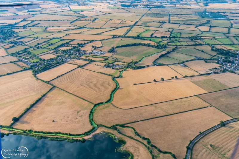
Approximate Location Map
Large Map »
This site is entirely user-supported. See how you can help.
Latitude: 51.8126 / 51°48'45"N
Longitude: -1.172 / 1°10'19"W
OS Eastings: 457179.8675
OS Northings: 212984.0555
OS Grid: SP571129
Mapcode National: GBR 8YG.BJ1
Mapcode Global: VHCXH.MPSV
Entry Name: Two sections of a Roman road on Ot Moor
Scheduled Date: 2 January 1997
Source: Historic England
Source ID: 1015169
English Heritage Legacy ID: 28140
County: Oxfordshire
Civil Parish: Beckley and Stowood
Traditional County: Oxfordshire
Lieutenancy Area (Ceremonial County): Oxfordshire
Church of England Parish: Beckley
Church of England Diocese: Oxford
The monument includes two sections of a Roman road situated on Ot Moor. The
road runs roughly north-south from Alchester to Dorchester and is still in use
as a public right of way.
The road, which survives as a low earthwork across most of the moor, is known
from part excavations further north and from visible surface evidence, to have
had a limestone surfaced carriageway which was cambered, much like a modern
road.
The road carriageway varies in width from 14m to 16m across although the
sections across Ot Moor appear to have been built with a consistent width of
c.14m. The carriageway itself still stands up to 0.6m high in many places.
Either side of the carriageway are flanking quarry ditches c.1.5m wide and
originally up to 1.2m deep. These are still visible at ground level in many
places, particularly to the west where the ditch has been reused. The eastern
ditch has been largely infilled over the years but is visible as a shallow
depression c.0.2m deep. In addition to providing turf and some sand for the
road construction, the ditches provided drainage for the road, delineated the
edge of the route and would have provided some security for those travelling
along it.
The stretch of road across Ot Moor is broken into two sections by a water
filled area of land which is known as the Pill. This is thought to be a later
feature than the road and as such it is unlikely that evidence of the road
survives here.
The northern road section measures 500m in length and runs south from the
junction of the lane from Oddington with the lane north to Fencott. Its
southern end is formed by the edge of the Pill. The southern section starts
110m to the south, on the southern edge of the Pill. This section runs
straight to the south for a distance of 820m to a point where it bends
slightly to the south west. It then runs 450m further as a visible earthwork.
Excavation of a wooden bridge found during dredging of the river at Fencott,
provided material for dating. This showed that the trees used in its
construction were cut in c.AD 95.
Excluded from the scheduling are the post and wire fence lines which cross it,
the surface of the modern road to the butts and a concrete bridge crossing the
drain, along with the drain itself, although the land beneath all of these is
included.
MAP EXTRACT
The site of the monument is shown on the attached map extract.
It includes a 2 metre boundary around the archaeological features,
considered to be essential for the monument's support and preservation.
Source: Historic England
Roman roads were artificially made-up routes introduced to Britain by the
Roman army from c.AD 43. They facilitated both the conquest of the province
and its subsequent administration. Their main purpose was to serve the Cursus
Publicus, or Imperial mail service. Express messengers could travel up to 150
miles per day on the network of Roman roads throughout Britain and Europe,
changing horses at wayside 'mutationes' (posting stations set every 8 miles on
major roads) and stopping overnight at 'mansiones' (rest houses located every
20-25 miles). In addition, throughout the Roman period and later, Roman roads
acted as commercial routes and became foci for settlement and industry.
Mausolea were sometimes built flanking roads during the Roman period while, in
the Anglian and medieval periods, Roman roads often served as property
boundaries. Although a number of roads fell out of use soon after the
withdrawal of Rome from the province in the fifth century AD, many have
continued in use down to the present day and are consequently sealed beneath
modern roads.
On the basis of construction technique, two main types of Roman road are
distinguishable. The first has widely spaced boundary ditches and a broad
elaborate agger comprising several layers of graded materials. The second
usually has drainage ditches and a narrow simple agger of two or three
successive layers. In addition to ditches and construction pits flanking the
sides of the road, features of Roman roads can include central stone ribs,
kerbs and culverts, not all of which will necessarily be contemporary with the
original construction of the road. With the exception of the extreme south-
west of the country, Roman roads are widely distributed throughout England and
extend into Wales and lowland Scotland. They are highly representative of the
period of Roman administration and provide important evidence of Roman civil
engineering skills as well as the pattern of Roman conquest and settlement. A
high proportion of examples exhibiting good survival are considered to be
worthy of protection.
The two sections of Roman road on Ot Moor are among the best preserved
sections of the road from Alchester to Dorchester. It is known from part
excavations at Fencott that archaeological and environmental remains relating
to the construction and use of the road will survive buried below the present
ground level.
The road is now used as a public footpath.
Source: Historic England
Books and journals
Chambers, R, 'Oxoniensia' in Roman Road, , Vol. LI, (1986), 193
Other
PRN 8923 and detailed files, C.A.O., Roman Road - Alchester to Dorchester, (1993)
Title: Ordnance Survey Landranger
Source Date: 1989
Author:
Publisher:
Surveyor:
Sheet 164
With MPPA and English Nature Officer, SMITH, P, On site discussion of local natural history, (1995)
Source: Historic England
Other nearby scheduled monuments