Approximate Location Map
Large Map »
This site is entirely user-supported. See how you can help.
Latitude: 54.4356 / 54°26'8"N
Longitude: -0.5794 / 0°34'45"W
OS Eastings: 492243.228719
OS Northings: 505395.719423
OS Grid: NZ922053
Mapcode National: GBR SKD4.CQ
Mapcode Global: WHGB5.2RCY
Entry Name: Bowl barrow 825m north of the junction of the A171 and the road leading to Fylingthorpe
Scheduled Date: 15 November 1934
Last Amended: 8 August 1995
Source: Historic England
Source ID: 1011959
English Heritage Legacy ID: 25675
County: North Yorkshire
Civil Parish: Fylingdales
Traditional County: Yorkshire
Lieutenancy Area (Ceremonial County): North Yorkshire
Church of England Parish: Fylingdales St Stephen
Church of England Diocese: York
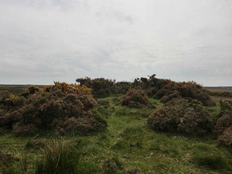
The monument comprises a bowl barrow standing on enclosed managed heathland on
the northern edge of Low Moor.
The barrow mound was constructed of earth or turf and presently stands 0.4m
high and measures 12m in diameter.
There are traces of a possible early excavation in the centre of the mound and
there is also a recent animal burrow in this central depression.
MAP EXTRACT
The site of the monument is shown on the attached map extract.
It includes a 2 metre boundary around the archaeological features,
considered to be essential for the monument's support and preservation.
Source: Historic England
Bowl barrows, the most numerous form of round barrow, are funerary monuments
dating from the Late Neolithic period to the Late Bronze Age, with most
examples belonging to the period 2400-1500 BC. They were constructed as
earthen or rubble mounds, sometimes ditched, which covered single or multiple
burials. They occur either in isolation or grouped as cemeteries and often
acted as a focus for burials in later periods. Often superficially similar,
although differing widely in size, they exhibit regional variations in form
and a diversity of burial practices. There are over 10,000 surviving bowl
barrows recorded nationally (many more have already been destroyed), occurring
across most of lowland Britain. Often occupying prominent locations, they are
a major historic element in the modern landscape and their considerable
variation of form and longevity as a monument type provide important
information on the diversity of beliefs and social organisations amongst early
prehistoric communities. They are particularly representative of their period
and a substantial proportion of surviving examples are considered worthy of
protection.
The bowl barrow on the northern edge of Low Moor survives well in spite of
traces of an old excavation. The mound will contain evidence of early burial
practices as well as environmental conditions at the time of the construction.
The barrow forms one of an important group of barrows on Low Moor. The complex
of Bronze Age remains on the moor are a relict landscape of importance. They
include linear earthworks and a standing stone group.
Source: Historic England
Other nearby scheduled monuments