Approximate Location Map
Large Map »
This site is entirely user-supported. See how you can help.
Latitude: 54.0999 / 54°5'59"N
Longitude: -0.3157 / 0°18'56"W
OS Eastings: 510235.6183
OS Northings: 468422.4333
OS Grid: TA102684
Mapcode National: GBR VP71.G1
Mapcode Global: WHHF5.36YS
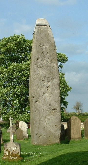
Entry Name: Argam dykes
Scheduled Date:
Source: Historic England
Source ID: 1005234
English Heritage Legacy ID: ER 87
County: East Riding of Yorkshire
Civil Parish: Rudston
Traditional County: Yorkshire
Lieutenancy Area (Ceremonial County): East Riding of Yorkshire
Church of England Parish: Rudston All Saints
Church of England Diocese: York
This record has been generated from an "old county number" (OCN) scheduling record. These are monuments that were not reviewed under the Monuments Protection Programme and are some of our oldest designation records. As such they do not yet have the full descriptions of their modernised counterparts available. Please contact us if you would like further information.
Source: Historic England
Other nearby scheduled monuments