Approximate Location Map
Large Map »
This site is entirely user-supported. See how you can help.
If Google Street View is available, the image is from the best available vantage point looking, if possible, towards the location of the monument. Where it is not available, the satellite view is shown instead.
Latitude: 51.775 / 51°46'29"N
Longitude: -1.2864 / 1°17'10"W
OS Eastings: 449332.070206
OS Northings: 208720.424834
OS Grid: SP493087
Mapcode National: GBR 7XC.RL2
Mapcode Global: VHCXM.NN94
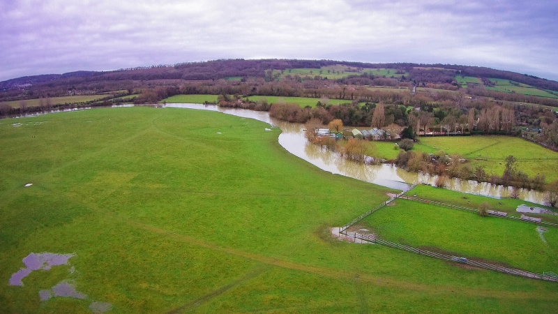
Entry Name: Ring ditches, barrows and associated enclosures, Port Meadow
Scheduled Date: 17 October 1990
Last Amended: 12 February 1991
Source: Historic England
Source ID: 1010717
English Heritage Legacy ID: 12003
County: Oxfordshire
Electoral Ward/Division: Summertown
Traditional County: Oxfordshire
Lieutenancy Area (Ceremonial County): Oxfordshire
Church of England Parish: Oxford St Giles
Church of England Diocese: Oxford
The monument comprises a number of archaeological items, mainly dating
to the later prehistoric period (2000-50BC). Although some of the items
are visible from the ground, the majority can only be seen from the air.
Indeed the range and number of items present on Port Meadow was not
fully realised until air photographs were first taken in 1933.
The archaeological items within Port Meadow may be described as
follows: 1) a late 17th century racecourse (SP492091); 2), 3) and 4)
circular ditched enclosures (SP495086, 497085, 497084); 5) a circular
ditched enclosure with a later Bronze Age burial mound (SP496084); 6) a
Bronze Age burial mound combined with two banked ditches (SP492089); 7)
a circular cropmark (SP491088); 8) a rectangular enclosure with ditches
(SP492088); 9) a group of enclosures of varying size (SP486089); 10) a
rectangular enclosure (SP489089); 11) a low mound probably representing
Iron Age habitation (SP492088); 12) a circular crop mark (SP488089); 13)
a circular ditch of late Bronze Age date overlapped by a similar ditch
of Iron Age date (SP492088); 14) a group of five small sub- rectangular
enclosures (SP492084); 15) a sub-rectangular enclosure containing what
might have been prehistoric fields (SP491089).
Excluded from the constraint area are the allotment gardens, as
presently defined, in the northern part of Port Meadow on Wolvercote
Common. The access trackway is also excluded but not the ground beneath
it.
From the SW corner of the monument, an area of riverbank running
northwards 100m long and 2m wide, which is used for mooring purposes, is
excluded from the scheduling. The ditches along the eastern boundary of
the site are also excluded from the scheduling as are the ditches to the
north of the monument, bordering Lower Wolvercote.
MAP EXTRACT
The site of the monument is shown on the attached map extract.
Source: Historic England
Port Meadow and Wolvercote Common contain evidence for consecutive
periods of human activity covering the Bronze Age and Iron Age. Well-
preserved sites of this type are rare in Britain especially where
evidence for habitation, burial and farming are found in association and
occasionally overlap.
Potential for the preservation of organic remains at this site is very
high. Early excavations yielded animal and bird bones while the survival
of pollen would allow reconstruction of the environment at the time of
later prehistoric settlement. This combined with the settlement evidence
will provide an unusually complete insight into later prehistoric.
occupation of the Thames valley.
Source: Historic England
Books and journals
The Victoria History of the County of Oxfordshire: Volume I, (1939)
Atkinson, R J C, Archaeological sites on Port Meadow, Oxford, (1942), 24-28
Atkinson, R J C, Archaeological sites on Port Meadow, Oxford, (1942)
Cordeaux, , Merry, , Oxoniensia, (1948)
Penney, S, A 19th Century excavation on Port Meadow, Oxford, (1985)
Leeds, E T, Atkinson, R J C, 'Oxoniensia' in Oxoniensia, (1945)
Rhodes, P P, 'Oxoniensia' in Oxoniensia, (1949)
Other
84, Ordnance Survey, Ordnance Survey Archaeological Records SP 40 NE 2.4,
AP no's 4908/1/4/5/6,
AP nos 4908/1/5/6,
AP nos 4908/2/4/6/7/8,
Cole, Benjamin,
Ordnance Survey , Ordnance Survey Archaeology Records SP 40 NE 22.2,
Ordnance Survey , Ordnance Survey Archaeology Records SP 40 NE 22.3,
Ordnance Survey, Ordnance Survey Archaeological Records SP 40 NE 22.1,
Title: Ordnance Survey, 1876
Source Date:
Author:
Publisher:
Surveyor:
Source: Historic England
Other nearby scheduled monuments