Approximate Location Map
Large Map »
This site is entirely user-supported. See how you can help.
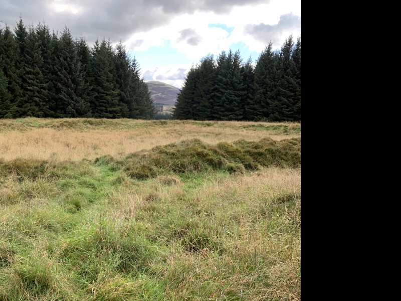
If Google Street View is available, the image is from the best available vantage point looking, if possible, towards the location of the monument. Where it is not available, the satellite view is shown instead.
Latitude: 55.688 / 55°41'16"N
Longitude: -3.2799 / 3°16'47"W
OS Eastings: 319632
OS Northings: 644574
OS Grid: NT196445
Mapcode National: GBR 52JN.QV
Mapcode Global: WH6TX.L9CC
Entry Name: Harehope Rings,fort,Harehope Hill
Scheduled Date: 17 July 1968
Source: Historic Environment Scotland
Source ID: SM2677
Schedule Class: Cultural
Category: Prehistoric domestic and defensive: fort (includes hill and promontory fort)
Location: Eddleston
County: Scottish Borders
Electoral Ward: Tweeddale West
Traditional County: Peeblesshire
Bibliography
No Bibliography entries for this designation
Source: Historic Environment Scotland
Other nearby scheduled monuments